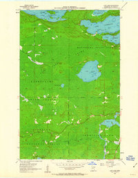
1956 Map of Lost Lake
USGS Topo · Published 1963About this map
Lake Vermilion dominates the northern reaches of this mid-century survey, a region defined by its complex shoreline and dense forest boundaries. The terrain is a mosaic of timberland and water, where the Minnesota State Forest and Kabetogama State Forest meet the northwestern edge of the Superior National Forest. While much of the landscape is dominated by expansive Swamp and timber, small pockets of human presence appear at Lehtinen and near the winding course of the Pike River. The mapping of depth curves within Frazer Bay and Daisy Bay highlights the era's focus on documenting the transition from wilderness to recreational waterways. Numerous named points of interest like Thirtysix Island and Birch Point provide specific geographic markers for those studying the evolution of the Iron Range region's backcountry and lakefront.
Find a feature on this map
27 named features on this map. Tap any name to fly to it.
Don’t see what you’re looking for? This feature index may not catch every label — zoom into the map to look around manually.
Map Details
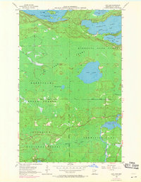
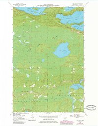
Editions of this 1956 Lost Lake Map
4 editions found
Other maps of this area

1950 · Biwabik NW
USGS Topo · 1:24,000

1950 · Biwabik NE
USGS Topo · 1:24,000

1951 · Biwabik NE
USGS Topo · 1:24,000

1951 · Biwabik NW
USGS Topo · 1:24,000

1951 · Britt
USGS Topo · 1:24,000

1954 · Hibbing
USGS Topo · 1:250,000

1956 · Sioux Pine Island
USGS Topo · 1:24,000

1956 · Tower
USGS Topo · 1:24,000

1956 · Vermilion Dam
USGS Topo · 1:24,000

1956 · Lost Lake
USGS Topo · 1:24,000