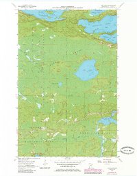
1956 Map of Lost Lake
USGS Topo · Published 1985About this map
Vermilion Lake dominates the northern reaches of this Iron Range landscape, characterized by the irregular shorelines of Frazer Bay, Daisy Bay, and Greenwood Bay. Surveyed in the mid-1950s with later 1980s updates, the map details a wilderness managed for both recreation and industry, showing the Lake Superior National Forest and State Forest Boundary lines. Water management is a central theme, evidenced by the Pike River Flowage and its associated spillway, which controls the southern inflow near where Lehtinen Creek meets the Pike River.
Find a feature on this map
22 named features on this map. Tap any name to fly to it.
Don’t see what you’re looking for? This feature index may not catch every label — zoom into the map to look around manually.
Map Details
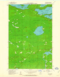
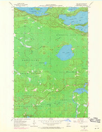
Editions of this 1956 Lost Lake Map
4 editions found
Other maps of this area

1950 · Biwabik NW
USGS Topo · 1:24,000

1950 · Biwabik NE
USGS Topo · 1:24,000

1951 · Biwabik NE
USGS Topo · 1:24,000

1951 · Biwabik NW
USGS Topo · 1:24,000

1951 · Britt
USGS Topo · 1:24,000

1954 · Hibbing
USGS Topo · 1:250,000

1956 · Sioux Pine Island
USGS Topo · 1:24,000

1956 · Tower
USGS Topo · 1:24,000

1956 · Vermilion Dam
USGS Topo · 1:24,000

1956 · Lost Lake
USGS Topo · 1:24,000