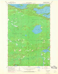
1956 Map of Lost Lake
USGS Topo · Published 1971About this map
Vermilion Lake and its intricate northern bays define the landscape of this mid-century survey in St. Louis County. The map documents the northern wilderness as it transitioned through the 1950s and 1960s, showing the intersection of the Superior National Forest, Kabetogama State Forest, and the Minnesota State Forest. Water systems dominate the terrain, from the sprawling Daisy Bay and Birch Point to the smaller, isolated Lost Lake. In the southeastern corner, the Pike River feeds into the Pike River Flowage near a designated spillway, illustrating the hydraulic management of the region's river-and-lake network. Topography shows a mixture of high timberland and significant Swamp regions, characteristic of the Iron Range's surrounding lake country before modern development expanded through the north woods.
Find a feature on this map
23 named features on this map. Tap any name to fly to it.
Don’t see what you’re looking for? This feature index may not catch every label — zoom into the map to look around manually.
Map Details
Editions of this 1956 Lost Lake Map
4 editions found
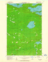
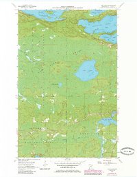
Other maps of this area

1950 · Biwabik NW
USGS Topo · 1:24,000

1950 · Biwabik NE
USGS Topo · 1:24,000

1951 · Biwabik NE
USGS Topo · 1:24,000

1951 · Biwabik NW
USGS Topo · 1:24,000

1951 · Britt
USGS Topo · 1:24,000

1954 · Hibbing
USGS Topo · 1:250,000

1956 · Sioux Pine Island
USGS Topo · 1:24,000

1956 · Tower
USGS Topo · 1:24,000

1956 · Vermilion Dam
USGS Topo · 1:24,000

1956 · Lost Lake
USGS Topo · 1:24,000