2022 Map of Lost Nation
USGS Topo · Published 2022About this map
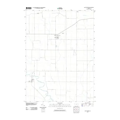
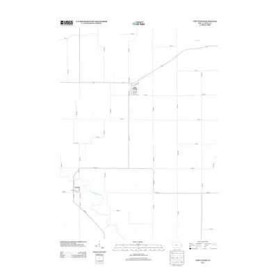
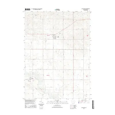
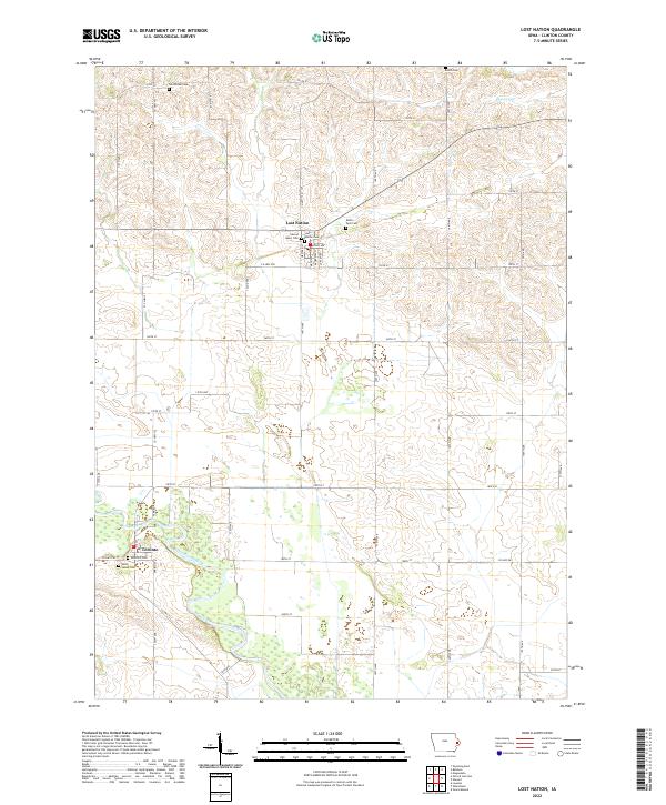
Lost Nation stands as the primary settlement in this Clinton County landscape, characterized by a structured grid of agricultural section lines and township boundaries. The town is concentrated around several community landmarks, including Sacred Heart Cem and Lost Nation Cem on its southern edge, with Rustic Park Cem located just to the east. Further south, the town of Toronto is situated near the banks of the Wapsipinicon River, where the terrain shifts from upland fields to more complex drainage patterns and wetlands. This area reveals a significant concentration of burial grounds for a rural township, with Rose Hill Cem and Saint James Cem serving the southern community. In the northern reaches, small tributaries like Elwood Cr wind through the sections, passing older sites such as Smithtown Cem and Busch Cem.
Find a feature on this map
47 named features on this map. Tap any name to fly to it.
Don’t see what you’re looking for? This feature index may not catch every label — zoom into the map to look around manually.
Map Details
Editions of this 2022 Lost Nation Map
This is the sole edition of this map. No revisions or reprints were ever made.
Historical Maps of Lost Nation Through Time
6 maps found