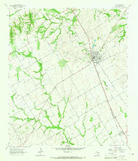
1963 Map of Lott
USGS Topo · Published 1965About this map
Lott serves as the central hub of this Central Texas landscape in the early 1960s, defined by the intersection of the Southern Pacific railroad and a network of rural roads like Falls Road. The town itself is well-developed with local landmarks including Davis High Sch, the Rodeo Ground, and the Sacred Heart Cath church and cemetery. To the south, the smaller settlement of Travis sits along the rail line near the banks of Pond Creek.
Find a feature on this map
28 named features on this map. Tap any name to fly to it.
Don’t see what you’re looking for? This feature index may not catch every label — zoom into the map to look around manually.
Map Details
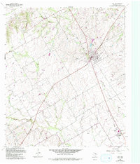
Editions of this 1963 Lott Map
2 editions found
Other maps of this area

1892 · Temple
USGS Topo · 1:125,000

1954 · Waco
USGS Topo · 1:250,000

1955 · Waco
USGS Topo · 1:250,000

1957 · Bruceville
USGS Topo · 1:24,000

1957 · Chilton
USGS Topo · 1:24,000

1957 · Marlin
USGS Topo · 1:24,000

1962 · Rosebud
USGS Topo · 1:24,000

1962 · Cedar Springs
USGS Topo · 1:24,000
1963 · Westphalia
USGS Topo · 1:24,000
1963 · Seaton
USGS Topo · 1:24,000