Loading...
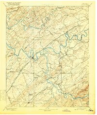
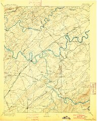
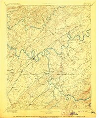
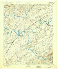
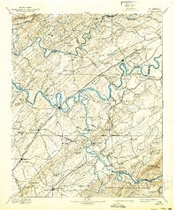
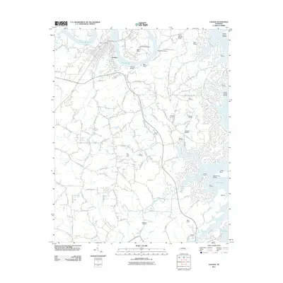
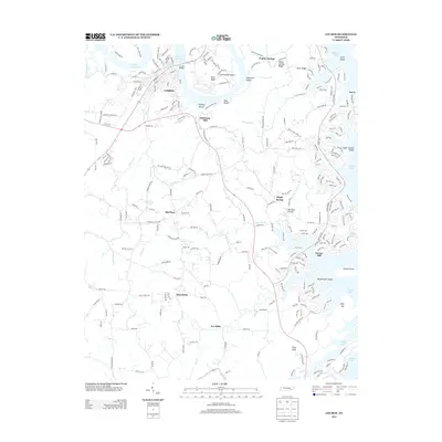
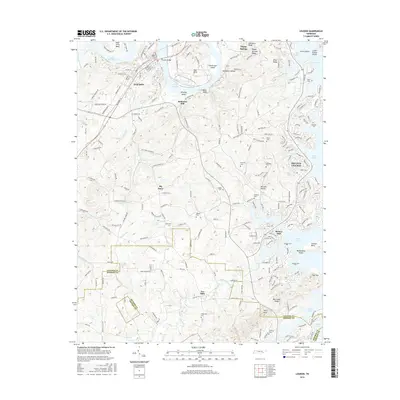
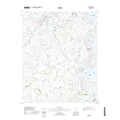
Loading map...1895 Map of Loudon
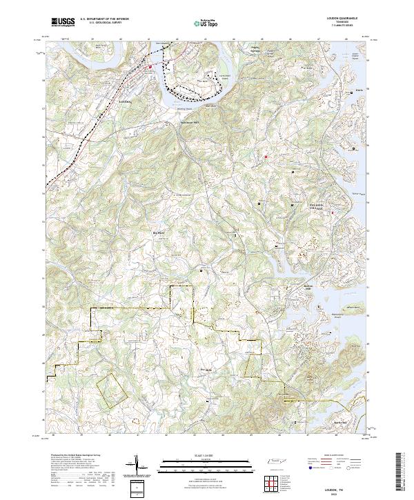
USGS Topo · Published 1918About this map
The Tennessee River and its major tributaries, the Little Tennessee River and Clinch River, anchor this landscape during a period of heavy reliance on river-and-rail transport. This survey documents the region before the massive reservoir projects of the twentieth century, showing the original river bends like Hall Bend and islands such as Bogard Island in their natural state. Dozens of river crossings are noted, including Huff Ferry, Lenoir Fy., and Jackson Fy., which served as vital connectors for valley residents.
Find a feature on this map
143 named features on this map. Tap any name to fly to it.
Don’t see what you’re looking for? This feature index may not catch every label — zoom into the map to look around manually.
Map Details
Date Portrayed1895
Date Published1918
PublisherU.S. Geological Survey
Map TypeTopographic
Scale1:125,000
Physical Dimensions16.77 x 19.94 inches
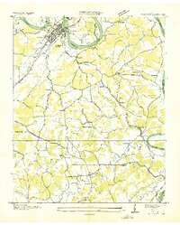
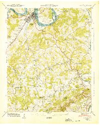
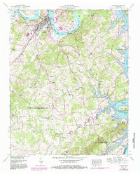
Editions of this 1895 Loudon Map
6 editions found

Historical Maps of Knoxville Through Time
9 maps found
Featured Locations
Source Details
SourceU.S. Geological Survey
CopyrightPublic Domain