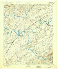
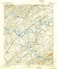
1895 Map of Loudon
USGS Topo · Published 1931About this map
The Tennessee River and its many ferries define the landscape of this late nineteenth-century reconnaissance, as the waterway winds through the valley between Chestnut Ridge and Beaver Ridge. This era in the Tennessee Valley was marked by a reliance on river crossings like Lenoir Fy. and Huff Ferry, which connected rural trade centers before modern bridging. The map captures the established settlement at Loudon and the educational institutions of the day, including Hiwassee College in the south and Ewing Academy near Concord.
Find a feature on this map
137 named features on this map. Tap any name to fly to it.
Don’t see what you’re looking for? This feature index may not catch every label — zoom into the map to look around manually.
Map Details
Editions of this 1895 Loudon Map
6 editions found

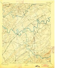
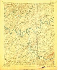
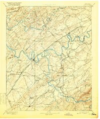
Other maps of this area

1886 · Cleveland
USGS Topo · 1:125,000

1886 · Knoxville
USGS Topo · 1:125,000

1887 · Kingston
USGS Topo · 1:125,000

1891 · Kingston
USGS Topo · 1:125,000

1892 · Cleveland
USGS Topo · 1:125,000

1892 · Knoxville
USGS Topo · 1:125,000

1893 · Murphy
USGS Topo · 1:125,000

1893 · Briceville
USGS Topo · 1:125,000

1893 · Kingston
USGS Topo · 1:125,000

1894 · Knoxville
USGS Topo · 1:125,000