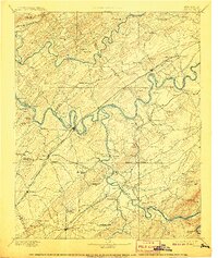
1895 Map of Loudon
USGS Topo · Published 1907About this map
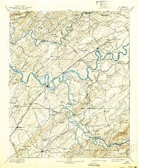
The Tennessee River snakes through the heart of this East Tennessee landscape, its banks defined by an intricate network of river crossings in the years before bridge expansion. The river economy is evident in the numerous landings such as Huff Ferry, Lenoir Fy, and Sapple Ferry, which served as vital connections for the surrounding agricultural communities. To the south, the settlement of Loudon serves as a focal point where the Southern RR crosses the water, linking the region to larger markets.
Find a feature on this map
137 named features on this map. Tap any name to fly to it.
Don’t see what you’re looking for? This feature index may not catch every label — zoom into the map to look around manually.
Map Details
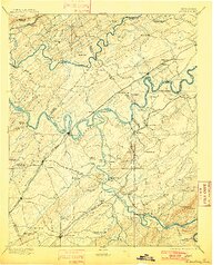
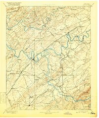
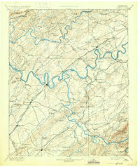
Editions of this 1895 Loudon Map
6 editions found

Other maps of this area

1886 · Cleveland
USGS Topo · 1:125,000

1886 · Knoxville
USGS Topo · 1:125,000

1887 · Kingston
USGS Topo · 1:125,000

1891 · Kingston
USGS Topo · 1:125,000

1892 · Cleveland
USGS Topo · 1:125,000

1892 · Knoxville
USGS Topo · 1:125,000

1893 · Murphy
USGS Topo · 1:125,000

1893 · Briceville
USGS Topo · 1:125,000

1893 · Kingston
USGS Topo · 1:125,000

1894 · Knoxville
USGS Topo · 1:125,000