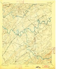
1895 Map of Loudon
USGS Topo · Published 1901About this map
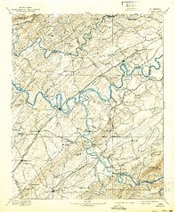
The Tennessee River and Little Tennessee River carve a complex path through this landscape, creating prominent features like Hall Bend and Bogard Island. At the turn of the century, these waterways were vital conduits of commerce, evidenced by the high density of river crossings such as Huff Fy., Tipton Ferry, and Leaper Fy.. The map documents a period of significant transition as the Southern R.R. lines, including the Bristol and Chattanooga Div., begin to supersede the river for moving goods and people. Local education and community life are anchored by institutions like Hiwassee College and Ewing Academy, while industrial footprints appear at Burns Mill. Notable settlements such as Loudon, Lenoir, and Louisville serve as regional hubs amidst a ridge-and-valley topography defined by Black Oak Ridge and Copper Ridge.
Find a feature on this map
141 named features on this map. Tap any name to fly to it.
Don’t see what you’re looking for? This feature index may not catch every label — zoom into the map to look around manually.
Map Details
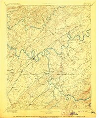
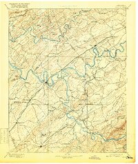
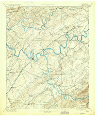
Editions of this 1895 Loudon Map
6 editions found

Other maps of this area

1886 · Cleveland
USGS Topo · 1:125,000

1886 · Knoxville
USGS Topo · 1:125,000

1887 · Kingston
USGS Topo · 1:125,000

1891 · Kingston
USGS Topo · 1:125,000

1892 · Cleveland
USGS Topo · 1:125,000

1892 · Knoxville
USGS Topo · 1:125,000

1893 · Murphy
USGS Topo · 1:125,000

1893 · Briceville
USGS Topo · 1:125,000

1893 · Kingston
USGS Topo · 1:125,000

1894 · Knoxville
USGS Topo · 1:125,000