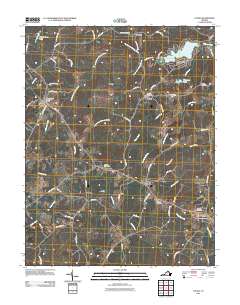
2011 Map of Louisa
USGS Topo · Published 2011About this map
Louisa serves as the focal point of this region at the start of the 21st century, anchored by the Louisa Post Office and nearby Oakland Cemetery. The landscape is defined by its historic post offices and small settlements connected by a network of established roads such as Vawter Corner Rd and Byrd Mill Rd. At Trevilians, the presence of the Trevilians Post Office marks a site of historical significance, while Green Springs is identified by the Green Springs Depot Post Office, indicating the area's long-standing reliance on rail-side postal service.
Find a feature on this map
71 named features on this map. Tap any name to fly to it.
Don’t see what you’re looking for? This feature index may not catch every label — zoom into the map to look around manually.
Map Details
Editions of this 2011 Louisa Map
This is the sole edition of this map. No revisions or reprints were ever made.
Other maps of this area

1887 · Spottsylvania
USGS Topo · 1:125,000

1890 · Goochland
USGS Topo · 1:125,000

1891 · Palmyra
USGS Topo · 1:125,000

1892 · Spottsylvania
USGS Topo · 1:125,000

1892 · Goochland
USGS Topo · 1:125,000

1892 · Gordonsville
USGS Topo · 1:125,000

1895 · Palmyra
USGS Topo · 1:125,000

1897 · Palmyra
USGS Topo · 1:125,000

1942 · Mineral
USGS Topo · 1:31,680

1942 · Lahore
USGS Topo · 1:31,680