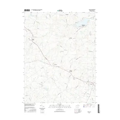
2016 Map of Louisa
USGS Topo · Published 2016About this map
Louisa serves as the focal point for this section of Central Virginia, where the local road network converges at the county seat. Moving west across the landscape, the geography transitions from the concentrated residential streets of Blue Ridge Shores and Meyerton Lake to the more dispersed agricultural settings of Trevilians and Green Springs. This map highlights a significant collection of family and local resting places, including Taylor Cem, Hillcrest Cem, and Oakland Cem, which provide essential touchpoints for genealogists tracing regional history. The drainage pattern is defined by several systems, including Hickory Cr and its northern and southern forks, alongside Humphrey Cr and Chaney Cr. This edition reveals the balance between traditional crossroads like Mildred Crossing and newer developments, illustrating how modern infrastructure follows the paths of earlier thoroughfares like S Spotswood Trl and Vawter Corner Rd.
Find a feature on this map
102 named features on this map. Tap any name to fly to it.
Don’t see what you’re looking for? This feature index may not catch every label — zoom into the map to look around manually.
Map Details
Editions of this 2016 Louisa Map
This is the sole edition of this map. No revisions or reprints were ever made.
Other maps of this area

1887 · Spottsylvania
USGS Topo · 1:125,000

1890 · Goochland
USGS Topo · 1:125,000

1891 · Palmyra
USGS Topo · 1:125,000

1892 · Spottsylvania
USGS Topo · 1:125,000

1892 · Goochland
USGS Topo · 1:125,000

1892 · Gordonsville
USGS Topo · 1:125,000

1895 · Palmyra
USGS Topo · 1:125,000

1897 · Palmyra
USGS Topo · 1:125,000

1942 · Mineral
USGS Topo · 1:31,680

1942 · Lahore
USGS Topo · 1:31,680