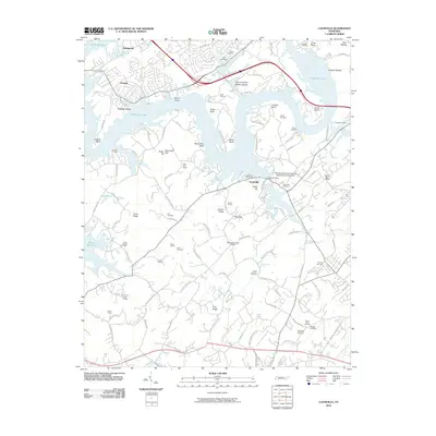
2010 Map of Louisville
USGS Topo · Published 2010About this map
Louisville stands as a central point in this Knoxville-area landscape, where the waters of Watts Bar Lake create a complex shoreline of bends and bluffs. The map reveals a high concentration of burial grounds, including Middlesettlements Cemetery, Zions Chapel Cemetery, and Armona Cemetery, providing a dense record for genealogical research. The local economy and infrastructure are represented by several extractive sites such as Bond Quarry and Funk Quarry, alongside the Vertiflite Airport and specialized community spaces like the Interdenominational Holiness Association Campground. Movement through the area is defined by a network of ridges and hollows, such as Jenkins Ridge and Neeley Hollow, which have dictated the placement of long-standing family settlements and roads. From the docks at Louisville Dock to the Mentor Post Office, this survey documents the transition between residential growth and the traditional rural landscape near the Tennessee River.
Find a feature on this map
119 named features on this map. Tap any name to fly to it.
Don’t see what you’re looking for? This feature index may not catch every label — zoom into the map to look around manually.
Map Details
Editions of this 2010 Louisville Map
This is the sole edition of this map. No revisions or reprints were ever made.
Other maps of this area

1886 · Knoxville
USGS Topo · 1:125,000

1892 · Knoxville
USGS Topo · 1:125,000

1894 · Knoxville
USGS Topo · 1:125,000

1895 · Loudon
USGS Topo · 1:125,000

1895 · Knoxville
USGS Topo · 1:125,000

1901 · Knoxville
USGS Topo · 1:125,000

1935 · Binfield
USGS Topo · 1:24,000

1935 · Knoxville
USGS Topo · 1:48,000

1935 · Meadow
USGS Topo · 1:24,000

1935 · Maryville
USGS Topo · 1:24,000