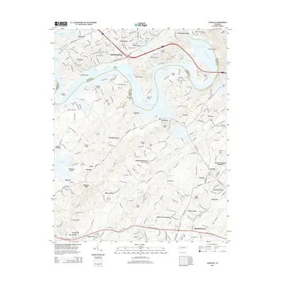
2014 Map of Louisville
USGS Topo · Published 2014About this map
Fort Loudoun Lake and the Tennessee River define the boundary between Knox and Blount counties, creating a complex geography of peninsulas and ridges like Keller Bend and Tomb Ridge. The landscape transitioned into a suburban and transportation hub by 2014, anchored by the massive footprint of Mc Ghee Tyson Airport and the expansion of Maryville and Alcoa. Despite this growth, many older rural identifiers remain visible, such as the historical Holston College site and numerous family burial grounds including Cox Cem and Byerly Cem.
Find a feature on this map
85 named features on this map. Tap any name to fly to it.
Don’t see what you’re looking for? This feature index may not catch every label — zoom into the map to look around manually.
Map Details
Editions of this 2014 Louisville Map
This is the sole edition of this map. No revisions or reprints were ever made.
Other maps of this area

1886 · Knoxville
USGS Topo · 1:125,000

1892 · Knoxville
USGS Topo · 1:125,000

1894 · Knoxville
USGS Topo · 1:125,000

1895 · Loudon
USGS Topo · 1:125,000

1895 · Knoxville
USGS Topo · 1:125,000

1901 · Knoxville
USGS Topo · 1:125,000

1935 · Binfield
USGS Topo · 1:24,000

1935 · Knoxville
USGS Topo · 1:48,000

1935 · Meadow
USGS Topo · 1:24,000

1935 · Maryville
USGS Topo · 1:24,000