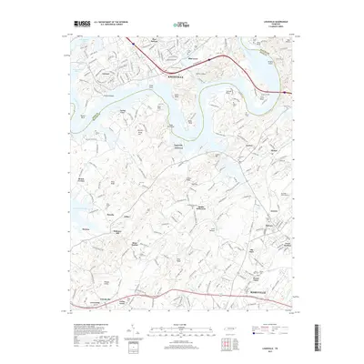
2019 Map of Louisville
USGS Topo · Published 2019About this map
The Tennessee River winds through the heart of this landscape, forming the expansive Fort Loudoun Lake and creating dramatic features like Keller Bluff and Jones Bend. Along the southern banks in Blount County, the topography is defined by established communities and family landmarks, including the historic Mahoney Mill and the crossroads at Miser Station. This area preserves a dense record of local genealogy, evidenced by numerous burial grounds such as Zions Chapel Cem, Shady Grove Cem, and Holston Cem.
Find a feature on this map
71 named features on this map. Tap any name to fly to it.
Don’t see what you’re looking for? This feature index may not catch every label — zoom into the map to look around manually.
Map Details
Editions of this 2019 Louisville Map
This is the sole edition of this map. No revisions or reprints were ever made.
Other maps of this area

1886 · Knoxville
USGS Topo · 1:125,000

1892 · Knoxville
USGS Topo · 1:125,000

1894 · Knoxville
USGS Topo · 1:125,000

1895 · Loudon
USGS Topo · 1:125,000

1895 · Knoxville
USGS Topo · 1:125,000

1901 · Knoxville
USGS Topo · 1:125,000

1935 · Binfield
USGS Topo · 1:24,000

1935 · Knoxville
USGS Topo · 1:48,000

1935 · Meadow
USGS Topo · 1:24,000

1935 · Maryville
USGS Topo · 1:24,000