2022 Map of Louisville
USGS Topo · Published 2022About this map
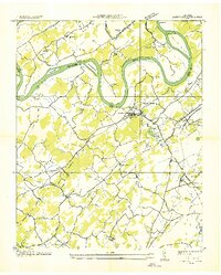
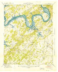
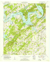
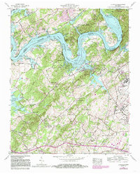
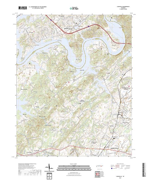
The Tennessee River and Fort Loudoun Lake form the defining boundary of this landscape, separating Louisville and its surrounding Blount County communities from the suburban growth near Knoxville. The terrain is characterized by a series of dramatic river bends and ridges, including Jackson Bend, Toole Bend, and Tomb Ridge. This region preserves a dense network of family and community history, evidenced by numerous burial grounds such as Byerly Cem and Cox Cem, alongside institutional landmarks like Holston College.
Find a feature on this map
79 named features on this map. Tap any name to fly to it.
Don’t see what you’re looking for? This feature index may not catch every label — zoom into the map to look around manually.
Map Details
Editions of this 2022 Louisville Map
This is the sole edition of this map. No revisions or reprints were ever made.
Historical Maps of Cactus Cove Through Time
5 maps found