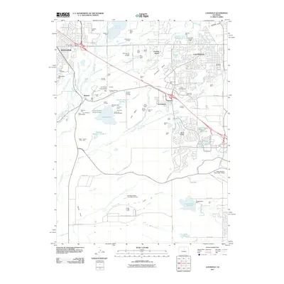
2011 Map of Louisville
USGS Topo · Published 2011About this map
Louisville and Superior define the residential and industrial core of this landscape, where suburban expansion meets an extensive history of resource extraction. The map reveals a dense concentration of former coal workings across Davidson Mesa and Lake Mesa, including the Big Five Mine, New Crown Mine, and Eldorado Mine. These operations once fueled the region's growth, leaving a legacy of named shafts like the Never Sweat Mine and Black Diamond Mine scattered among modern developments.
Find a feature on this map
107 named features on this map. Tap any name to fly to it.
Don’t see what you’re looking for? This feature index may not catch every label — zoom into the map to look around manually.
Map Details
Editions of this 2011 Louisville Map
This is the sole edition of this map. No revisions or reprints were ever made.
Other maps of this area

1899 · West Denver
USGS Topo · 1:125,000

1902 · Boulder
USGS Topo · 1:62,500

1904 · Niwot
USGS Topo · 1:62,500

1904 · Boulder
USGS Topo · 1:62,500

1906 · Blackhawk
USGS Topo · 1:62,500

1939 · Golden
USGS Topo · 1:24,000

1940 · Lafayette
USGS Topo · 1:31,680

1941 · Arvada
USGS Topo · 1:31,680

1942 · Eldorado Springs
USGS Topo · 1:24,000

1942 · Golden
USGS Topo · 1:31,680