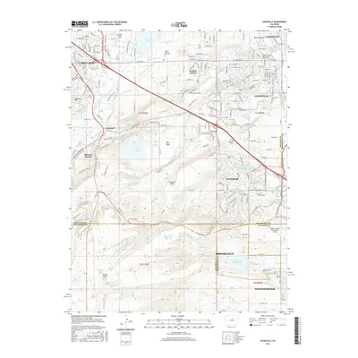
2016 Map of Louisville
USGS Topo · Published 2016About this map
Louisville and Superior anchor a landscape defined by an intricate network of irrigation and industrial water management, including the Community Ditch and Goodhue Ditch. The distribution of water is central to the area's history, with landmarks like Marshall Lake, Great Western Reservoir, and Eggleston Reservoir Number 4 punctuating the High Plains terrain. This map documents the complex intersection of municipal growth and environmental management, particularly visible near the AEC-North Walnut Creek Reservoir on the Rocky Flats.
Find a feature on this map
154 named features on this map. Tap any name to fly to it.
Don’t see what you’re looking for? This feature index may not catch every label — zoom into the map to look around manually.
Map Details
Editions of this 2016 Louisville Map
This is the sole edition of this map. No revisions or reprints were ever made.
Other maps of this area

1899 · West Denver
USGS Topo · 1:125,000

1902 · Boulder
USGS Topo · 1:62,500

1904 · Niwot
USGS Topo · 1:62,500

1904 · Boulder
USGS Topo · 1:62,500

1906 · Blackhawk
USGS Topo · 1:62,500

1939 · Golden
USGS Topo · 1:24,000

1940 · Lafayette
USGS Topo · 1:31,680

1941 · Arvada
USGS Topo · 1:31,680

1942 · Eldorado Springs
USGS Topo · 1:24,000

1942 · Golden
USGS Topo · 1:31,680