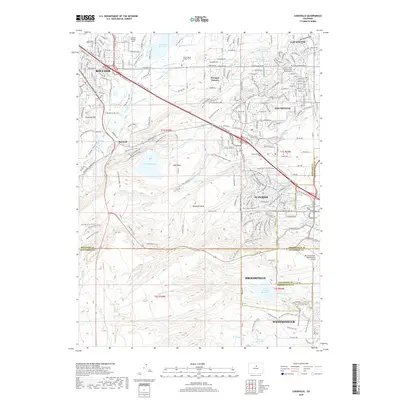
2019 Map of Louisville
USGS Topo · Published 2019About this map
Louisville and Lafayette anchor a landscape defined by an extensive network of irrigation ditches and reservoirs, a hallmark of the agricultural and industrial water management history in this region. Water bodies like Marshall Lake, the Great Western Reservoir, and Base Line Reservoir are connected by historically significant diversions such as the Community Ditch, Goodhue Ditch, and Davidson Ditch. These waterways supported the development of communities like Superior and the northern reaches of Westminster, which sit on the edge of the Rocky Flats plateau.
Find a feature on this map
92 named features on this map. Tap any name to fly to it.
Don’t see what you’re looking for? This feature index may not catch every label — zoom into the map to look around manually.
Map Details
Editions of this 2019 Louisville Map
This is the sole edition of this map. No revisions or reprints were ever made.
Other maps of this area

1899 · West Denver
USGS Topo · 1:125,000

1902 · Boulder
USGS Topo · 1:62,500

1904 · Niwot
USGS Topo · 1:62,500

1904 · Boulder
USGS Topo · 1:62,500

1906 · Blackhawk
USGS Topo · 1:62,500

1939 · Golden
USGS Topo · 1:24,000

1940 · Lafayette
USGS Topo · 1:31,680

1941 · Arvada
USGS Topo · 1:31,680

1942 · Eldorado Springs
USGS Topo · 1:24,000

1942 · Golden
USGS Topo · 1:31,680