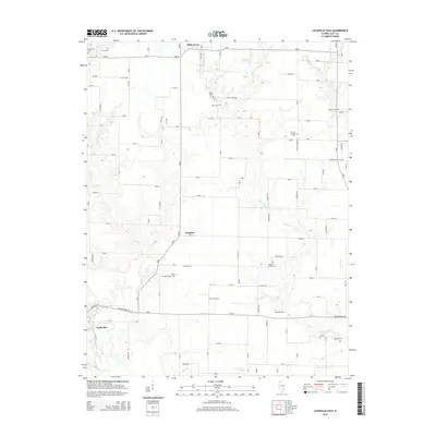
2015 Map of Louisville East
USGS Topo · Published 2015About this map
Louisville and the winding course of the Little Wabash River anchor the southwest corner of this Clay County landscape. The survey documents a predominantly agricultural region defined by a high density of rural burial grounds, which often indicate the sites of early pioneer settlements or vanished church congregations. Notable locations like Bible Grove in the north and Hoosier near the center serve as local hubs for the surrounding farmsteads.
Find a feature on this map
67 named features on this map. Tap any name to fly to it.
Don’t see what you’re looking for? This feature index may not catch every label — zoom into the map to look around manually.
Map Details
Editions of this 2015 Louisville East Map
This is the sole edition of this map. No revisions or reprints were ever made.
Other maps of this area

1948 · Flora
USGS Topo · 1:62,500

1949 · Flora
USGS Topo · 1:62,500

1952 · Xenia
USGS Topo · 1:62,500

1953 · Sailor Springs
USGS Topo · 1:62,500

1956 · Edgewood
USGS Topo · 1:62,500

1958 · Belleville
USGS Topo · 1:250,000

1962 · Belleville
USGS Topo · 1:250,000
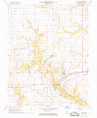
1968 · Xenia NE
USGS Topo · 1:24,000

1970 · Clay City
USGS Topo · 1:24,000
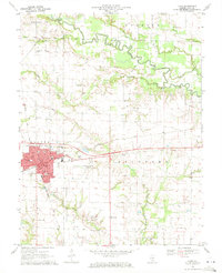
1970 · Flora
USGS Topo · 1:24,000