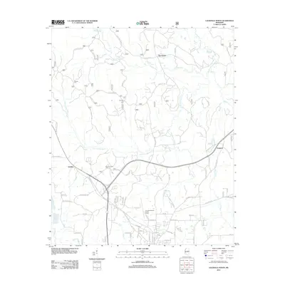
2012 Map of Louisville North
USGS Topo · Published 2012About this map
Noxubee River and the Little Noxubee River wind through this part of Winston County, framing the northern outskirts of the regional seat. The landscape is marked by a blend of timberland and small settlements like Gum Springs and McMillan. In the southern portion of the map, the industrial and transport infrastructure for the area is concentrated around the Louisville Winston County Airport and the recreational grounds of Legion State Park.
Find a feature on this map
75 named features on this map. Tap any name to fly to it.
Don’t see what you’re looking for? This feature index may not catch every label — zoom into the map to look around manually.
Map Details
Editions of this 2012 Louisville North Map
This is the sole edition of this map. No revisions or reprints were ever made.
Other maps of this area

1953 · West Point
USGS Topo · 1:250,000

1958 · West Point
USGS Topo · 1:250,000

1963 · West Point
USGS Topo · 1:250,000

1965 · Bradley
USGS Topo · 1:24,000

1972 · Louisville North
USGS Topo · 1:24,000

1972 · Highpoint
USGS Topo · 1:24,000
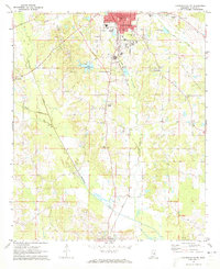
1972 · Louisville South
USGS Topo · 1:24,000
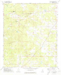
1972 · Louisville SW
USGS Topo · 1:24,000

1972 · Sturgis
USGS Topo · 1:24,000
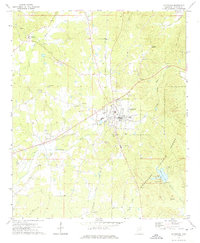
1972 · Ackerman
USGS Topo · 1:24,000