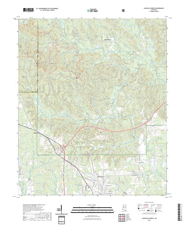
2024 Map of Louisville North
USGS Topo · Published 2024About this map
Louisville serves as the focal point of this northern Winston County landscape, situated where the rolling hills meet the expansive Tombigbee National Forest. The map documents a complex network of forest roads and trails, such as Rock Crusher Rd and the Lost Cemetery Road Trl, which weave through the wooded sections of the quadrangle. Waterways like the Noxubee River and Little Noxubee River define the drainage patterns of the region, while smaller settlements like Gum Springs and McMillan mark the outlying rural areas. Genealogists and local historians will find significant value in the location of several burial sites, including Little Rock Cem and Noxubee Hill Cem. The presence of the Louisville Winston County Airport near the town center indicates the modern infrastructure supporting this historic Mississippi community.
Find a feature on this map
83 named features on this map. Tap any name to fly to it.
Don’t see what you’re looking for? This feature index may not catch every label — zoom into the map to look around manually.
Map Details
Editions of this 2024 Louisville North Map
This is the sole edition of this map. No revisions or reprints were ever made.
Other maps of this area

1953 · West Point
USGS Topo · 1:250,000

1958 · West Point
USGS Topo · 1:250,000

1963 · West Point
USGS Topo · 1:250,000

1965 · Bradley
USGS Topo · 1:24,000

1972 · Louisville North
USGS Topo · 1:24,000

1972 · Highpoint
USGS Topo · 1:24,000
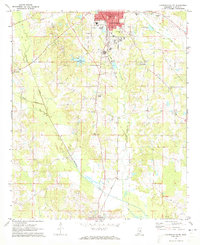
1972 · Louisville South
USGS Topo · 1:24,000
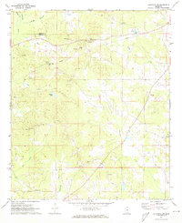
1972 · Louisville SW
USGS Topo · 1:24,000

1972 · Sturgis
USGS Topo · 1:24,000
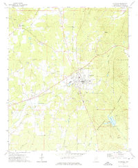
1972 · Ackerman
USGS Topo · 1:24,000