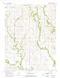
1964 Map of Louisville
USGS Topo · Published 1978About this map
Louisville stands as a focal point in this portion of Pottawatomie County, where the convergence of Rock Creek and Boxelder Creek shaped the early settlement patterns of Louisville and St. George townships. A significant historical marker, the Indian Treaty Boundary, cuts north-to-south across the landscape, bisecting the drainage of Adams Creek and Indian Creek. This survey, updated with 1970s revisions, illustrates the persistent rural character of the region, defined by small family cemeteries and agricultural land use.
Find a feature on this map
19 named features on this map. Tap any name to fly to it.
Don’t see what you’re looking for? This feature index may not catch every label — zoom into the map to look around manually.
Map Details
Editions of this 1964 Louisville Map
2 editions found
Other maps of this area

1889 · Wamego
USGS Topo · 1:125,000

1894 · Wamego
USGS Topo · 1:125,000

1953 · Wamego
USGS Topo · 1:24,000

1953 · St George
USGS Topo · 1:24,000

1953 · Belvue
USGS Topo · 1:24,000

1955 · Manhattan
USGS Topo · 1:250,000

1956 · Manhattan
USGS Topo · 1:250,000

1957 · Manhattan
USGS Topo · 1:250,000
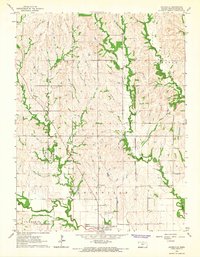
1964 · Louisville
USGS Topo · 1:24,000
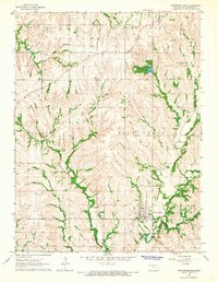
1964 · Westmoreland
USGS Topo · 1:24,000