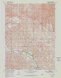
1953 Map of Loup City SE
USGS Topo · Published 1978About this map
Ashton serves as the primary hub in this corner of Sherman County, situated where the Burlington Northern railroad meets the winding course of Oak Creek. The landscape is defined by the transition from upland ridges to the fertile creek bottomlands, punctuated by a network of rural schoolhouses such as Shaupps Sch, School No 22, and School No 56.
Find a feature on this map
17 named features on this map. Tap any name to fly to it.
Don’t see what you’re looking for? This feature index may not catch every label — zoom into the map to look around manually.
Map Details
Editions of this 1953 Loup City SE Map
2 editions found
Other maps of this area

1899 · Loup
USGS Topo · 1:125,000

1953 · Loup City NW
USGS Topo · 1:24,000

1953 · Cotesfield
USGS Topo · 1:24,000

1953 · North Loup
USGS Topo · 1:24,000

1953 · Scotia
USGS Topo · 1:24,000

1953 · Ravenna NW
USGS Topo · 1:24,000

1953 · Loup City SE
USGS Topo · 1:24,000

1953 · Loup City
USGS Topo · 1:24,000

1953 · Farwell
USGS Topo · 1:24,000

1953 · Ashton
USGS Topo · 1:24,000