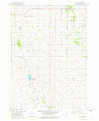
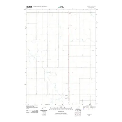
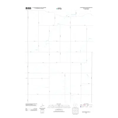
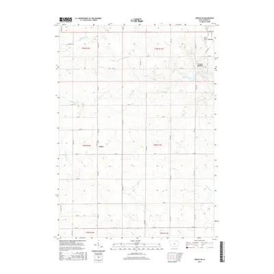
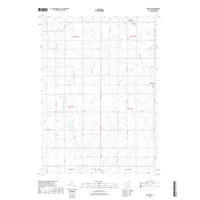
1981 Map of Lourdes
USGS Topo · Published 1982About this map
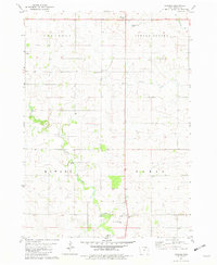
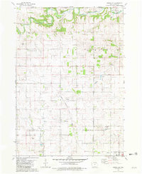
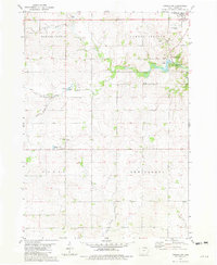
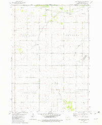
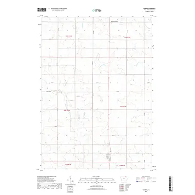
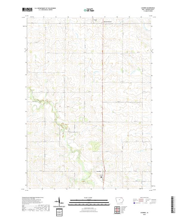
Lourdes anchors the southeastern portion of this northeastern Iowa landscape, situated in Paris township. The area is defined by the winding course of the Turkey River and Crane Creek, which carve through the farmland of Saratoga and Howard Center. Genealogists will find the Our Lady of Lourdes Cem centrally located near the settlement of Lourdes, while outdoor recreation is noted at McBride Park and the Carroll Access along the creek. The map also documents local industry through several Gravel Pits and a Quarry, alongside small crossroads landmarks like Davis Corners at the northern edge. This survey, based on 1970s aerial photography, captures a rural community sustained by its waterways and small-scale limestone and gravel extraction.
Find a feature on this map
17 named features on this map. Tap any name to fly to it.
Don’t see what you’re looking for? This feature index may not catch every label — zoom into the map to look around manually.
Map Details
Editions of this 1981 Lourdes Map
This is the sole edition of this map. No revisions or reprints were ever made.
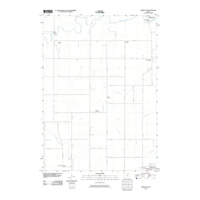
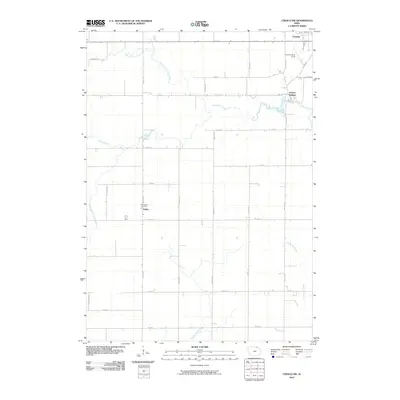
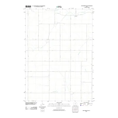
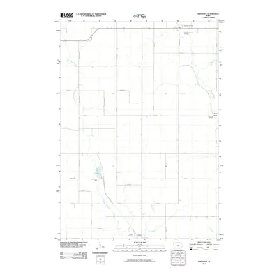
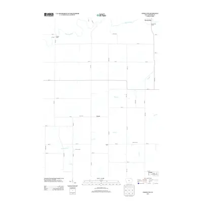
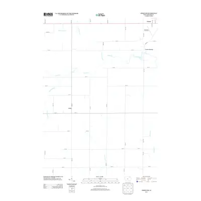
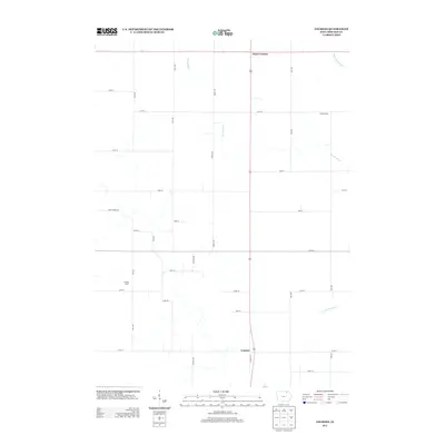
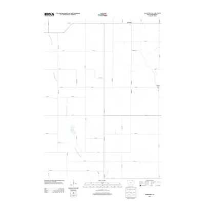
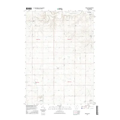
Historical Maps of Davis Corners Through Time
30 maps found
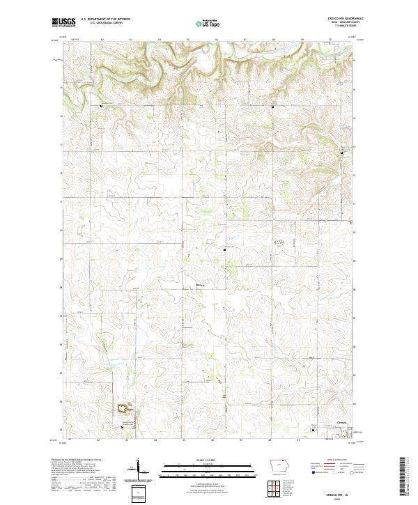
1981 Cresco NW
Howard County, IA
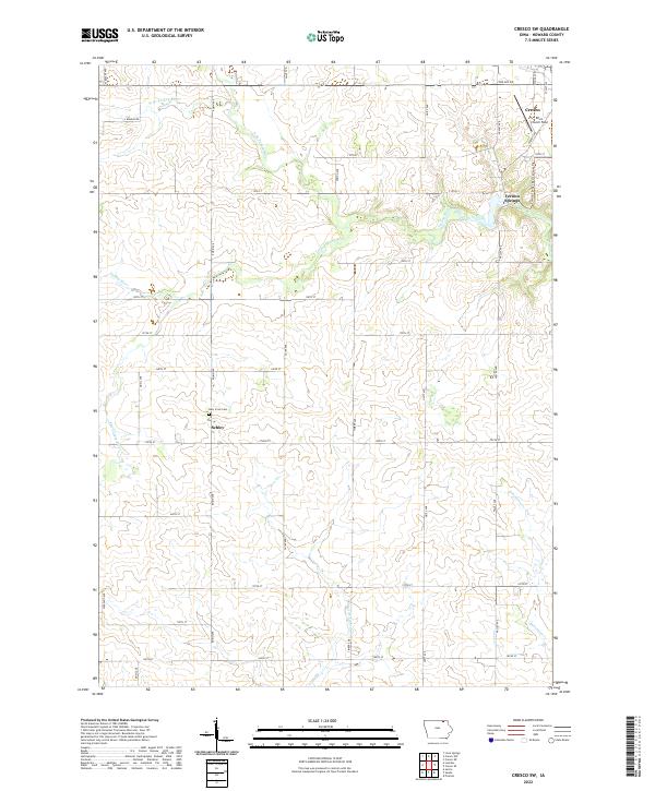
1981 Cresco SW
Howard County, IA
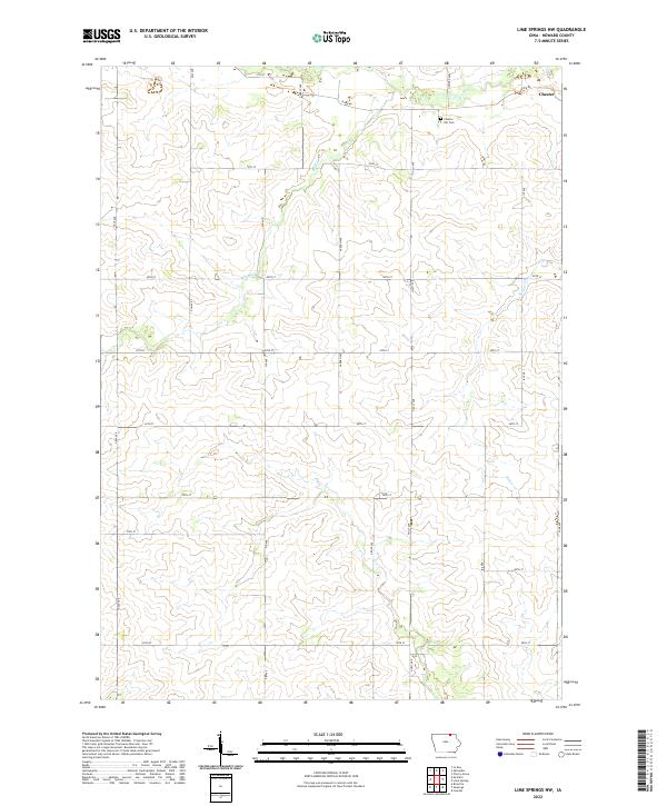
1981 Lime Springs NW
Howard County, IA
1981 Lourdes
Howard County, IA
1981 Saratoga
Howard County, IA
2010 Cresco NW
Howard County, IA
2010 Cresco SW
Howard County, IA
2010 Lime Springs NW
Howard County, IA
2010 Lourdes
Howard County, IA
2010 Saratoga
Howard County, IA
2013 Cresco NW
Howard County, IA
2013 Cresco SW
Howard County, IA
2013 Lime Springs NW
Howard County, IA
2013 Lourdes
Howard County, IA
2013 Saratoga
Howard County, IA
2015 Cresco NW
Howard County, IA
2015 Cresco SW
Howard County, IA
2015 Lime Springs NW
Howard County, IA
2015 Lourdes
Howard County, IA
2015 Saratoga
Howard County, IA
2018 Cresco NW
Howard County, IA
2018 Cresco SW
Howard County, IA
2018 Lime Springs NW
Howard County, IA
2018 Lourdes
Howard County, IA
2018 Saratoga
Howard County, IA
2022 Cresco NW
Howard County, IA
2022 Cresco SW
Howard County, IA
2022 Lime Springs NW
Howard County, IA
2022 Lourdes
Howard County, IA
2022 Saratoga
Howard County, IA