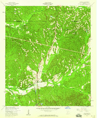
1955 Map of Louvale
USGS Topo · Published 1959About this map
The community of Louvale serves as a focal point for this mid-century survey of Stewart County, where the agricultural and social life of the era is anchored by numerous rural congregations and schools. The landscape is dotted with centers of community history such as Mt Gilead Ch, New Hope Ch, and Bland Memorial Ch, each often accompanied by its respective cemetery. This pattern of settlement reflects the importance of local institutions in the Georgia backcountry during the 1950s.
Find a feature on this map
27 named features on this map. Tap any name to fly to it.
Don’t see what you’re looking for? This feature index may not catch every label — zoom into the map to look around manually.
Map Details
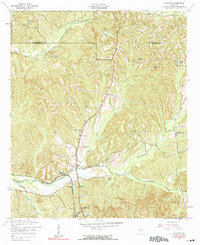
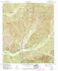
Editions of this 1955 Louvale Map
3 editions found
Other maps of this area

1908 · Columbus
USGS Topo · 1:62,500

1929 · Columbus
USGS Topo · 1:48,000

1947 · Columbus
USGS Topo · 1:62,500

1949 · Glen Alta
USGS Topo · 1:24,000

1949 · Julia
USGS Topo · 1:24,000

1949 · Cusseta
USGS Topo · 1:24,000

1950 · Fort Benning
USGS Topo · 1:24,000

1950 · Louvale
USGS Topo · 1:24,000

1950 · Lumpkin
USGS Topo · 1:24,000

1950 · Lumpkin SW
USGS Topo · 1:24,000