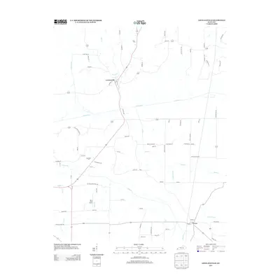
2013 Map of Lovelaceville
USGS Topo · Published 2013About this map
Lovelaceville serves as the focal point of this western Kentucky landscape, situated where Sugar Cr and Granite Br feed into the winding path of Mayfield Cr. The 2013 survey illustrates a rural region defined by its creek-bottom geography and a network of secondary roads that link small settlements and family burial grounds. Notable local landmarks include Terry Field Airport and several historic cemeteries such as Bethlehem Cem and Hebron Cem, which offer significant value for genealogical research in Ballard and Graves counties. To the southeast, the community of Lowes sits near the headwaters of Little Brush Cr, marking a transition in the local drainage patterns. The map documents the enduring agricultural character of the area, punctuated by small crossroads like Shaw and a grid of rural lanes like Yellow Dog Cutoff Rd and Coon Trail Rd.
Find a feature on this map
78 named features on this map. Tap any name to fly to it.
Don’t see what you’re looking for? This feature index may not catch every label — zoom into the map to look around manually.
Map Details
Editions of this 2013 Lovelaceville Map
This is the sole edition of this map. No revisions or reprints were ever made.
Other maps of this area

1926 · Paducah
USGS Topo · 1:62,500

1928 · La Center
USGS Topo · 1:62,500

1929 · Paducah
USGS Topo · 1:62,500

1932 · La Center
USGS Topo · 1:62,500

1936 · Melber
USGS Topo · 1:24,000

1940 · Paducah
USGS Topo · 1:62,500

1949 · Paducah
USGS Topo · 1:250,000

1950 · Paducah
USGS Topo · 1:250,000

1951 · Blandville
USGS Topo · 1:24,000

1951 · Milburn
USGS Topo · 1:24,000