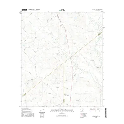
2016 Map of Lovelady South
USGS Topo · Published 2016About this map
Lovelady serves as the primary settlement hub at the northern edge of this 2016 Houston County survey, where Commerce St and Gimon Ln define the local grid. The landscape south of town is a network of rural routes and watercourses, including the meandering Tantabogue Cr and Elm Cr. Genealogy researchers will find several well-preserved burial grounds, such as Huffman Cem, Clapp Cem, and the White Rock Cem near the eastern boundary.
Find a feature on this map
53 named features on this map. Tap any name to fly to it.
Don’t see what you’re looking for? This feature index may not catch every label — zoom into the map to look around manually.
Map Details
Editions of this 2016 Lovelady South Map
This is the sole edition of this map. No revisions or reprints were ever made.
Other maps of this area

1953 · Palestine
USGS Topo · 1:250,000

1954 · Beaumont
USGS Topo · 1:250,000

1957 · Beaumont
USGS Topo · 1:250,000

1957 · Palestine
USGS Topo · 1:250,000

1960 · Trinity West
USGS Topo · 1:24,000

1960 · Trinity East
USGS Topo · 1:24,000

1962 · Lovelady South
USGS Topo · 1:24,000

1962 · Glendale
USGS Topo · 1:24,000

1962 · Wyser Bottom
USGS Topo · 1:24,000

1963 · Lovelady North
USGS Topo · 1:24,000