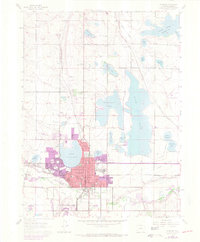
1962 Map of Loveland
USGS Topo · Published 1970About this map
Loveland is the center of this detailed landscape, shown during a period of transition as its city boundaries expanded around historic water bodies. The map reveals an intricate hydraulic network essential to Northern Colorado’s development, including the massive Boyd Lake, Horseshoe Lake, and Lake Loveland. These reservoirs, along with smaller features like Westerdoll Lake and Houts Reservoir, illustrate the complex irrigation and storage systems that supported both the local agriculture and the growing municipality. The industrial character of the era is anchored by the Sugar Refinery and various gravel pits near the Big Thompson River. Transportation routes are dominated by the Colorado and Southern and Union Pacific railroads, which facilitated the movement of goods from local mines and processing plants. Several local schools, such as Lincoln Sch and Washington Sch, mark the established neighborhoods of the mid-century community.
Find a feature on this map
44 named features on this map. Tap any name to fly to it.
Don’t see what you’re looking for? This feature index may not catch every label — zoom into the map to look around manually.
Map Details
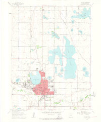
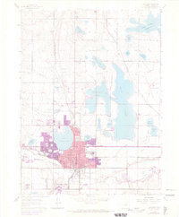
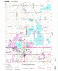
Editions of this 1962 Loveland Map
4 editions found
Other maps of this area

1902 · Greeley
USGS Topo · 1:125,000

1906 · Loveland
USGS Topo · 1:62,500

1906 · Fort Collins
USGS Topo · 1:62,500

1907 · Livermore
USGS Topo · 1:125,000

1908 · Loveland
USGS Topo · 1:62,500

1908 · Fort Collins
USGS Topo · 1:62,500

1908 · Eaton
USGS Topo · 1:125,000

1909 · Livermore
USGS Topo · 1:125,000

1910 · Eaton
USGS Topo · 1:125,000

1950 · Windsor
USGS Topo · 1:24,000