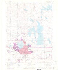
1962 Map of Loveland
USGS Topo · Published 1970About this map
Loveland serves as the central hub of this Northern Colorado landscape, where an intricate network of irrigation ditches like the Farmers Ditch and Louden Ditch supports a valley defined by sugar beet agriculture and burgeoning transit. The presence of the Sugar Refinery near the Great Western tracks highlights the industrial core of the era, while the Loveland Airport and a Drive-in Theater reflect mid-century infrastructure growth. Large water bodies including Boyd Lake, Horseshoe Lake, and Lake Loveland dominate the eastern and central sections, surrounded by smaller landmarks such as Mt Hope Sch and Cemetery Lake. Family names are preserved in several outlying junctions, including Trilby Corner, Browns Corner, and Kings Corner, marking the intersection of rural heritage and suburban expansion.
Find a feature on this map
46 named features on this map. Tap any name to fly to it.
Don’t see what you’re looking for? This feature index may not catch every label — zoom into the map to look around manually.
Map Details
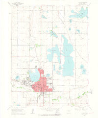
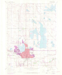
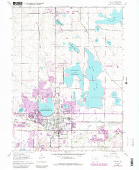
Editions of this 1962 Loveland Map
4 editions found
Other maps of this area

1902 · Greeley
USGS Topo · 1:125,000

1906 · Loveland
USGS Topo · 1:62,500

1906 · Fort Collins
USGS Topo · 1:62,500

1907 · Livermore
USGS Topo · 1:125,000

1908 · Loveland
USGS Topo · 1:62,500

1908 · Fort Collins
USGS Topo · 1:62,500

1908 · Eaton
USGS Topo · 1:125,000

1909 · Livermore
USGS Topo · 1:125,000

1910 · Eaton
USGS Topo · 1:125,000

1950 · Windsor
USGS Topo · 1:24,000