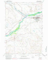
1966 Map of Lovell
USGS Topo · Published 1982About this map
Shoshone River waters dominate this mid-century landscape, fueling an intricate network of irrigation systems critical to the Bighorn Basin. The Sidon Canal and Globe Canal trace the contours of the valley, supporting the agricultural economy surrounding Lovell. This survey records the town at a time of steady industry, featuring its High Sch, Armory, and Rodeo Ground. Just south of the river, the Byron Oil Field is marked by numerous Oil Wells, illustrating the region's dual reliance on ranching and mineral extraction. The presence of the Chicago Burlington and Quincy railroad line, including the Cowley Siding, underscores the importance of rail transport for moving sugar beets, livestock, and petroleum from this northern Wyoming hub.
Find a feature on this map
42 named features on this map. Tap any name to fly to it.
Don’t see what you’re looking for? This feature index may not catch every label — zoom into the map to look around manually.
Map Details
Editions of this 1966 Lovell Map
4 editions found
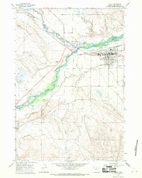
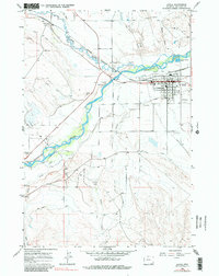
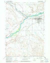
Other maps of this area

1955 · Cody
USGS Topo · 1:250,000

1958 · Cody
USGS Topo · 1:250,000

1962 · Cody
USGS Topo · 1:250,000

1964 · Lovell Lakes
USGS Topo · 1:24,000

1964 · Sykes Spring
USGS Topo · 1:24,000

1966 · Gilmore Hill NE
USGS Topo · 1:24,000

1966 · North Emblem Reservoir
USGS Topo · 1:24,000

1966 · Frannie
USGS Topo · 1:24,000

1966 · Cowley
USGS Topo · 1:24,000

1966 · Jack Horner Reservoir
USGS Topo · 1:24,000