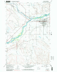
1966 Map of Lovell
USGS Topo · Published 1990About this map
Lovell serves as the primary hub of this northern Wyoming landscape, defined by an intricate network of irrigation systems and the fossil fuel industry of the mid-1960s. The town's grid is dense with civic infrastructure, including a High School, an Armory, and a centrally located Park. Just beyond the residential blocks, the Chicago Burlington and Quincy railroad line tracks along the Shoshone River, passing near industrial landmarks like the Stockyard and a Drive-in Theater.
Find a feature on this map
41 named features on this map. Tap any name to fly to it.
Don’t see what you’re looking for? This feature index may not catch every label — zoom into the map to look around manually.
Map Details
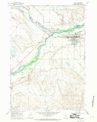
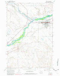
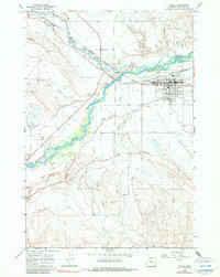
Editions of this 1966 Lovell Map
4 editions found
Other maps of this area

1955 · Cody
USGS Topo · 1:250,000

1958 · Cody
USGS Topo · 1:250,000

1962 · Cody
USGS Topo · 1:250,000

1964 · Lovell Lakes
USGS Topo · 1:24,000

1964 · Sykes Spring
USGS Topo · 1:24,000

1966 · Gilmore Hill NE
USGS Topo · 1:24,000

1966 · North Emblem Reservoir
USGS Topo · 1:24,000

1966 · Frannie
USGS Topo · 1:24,000

1966 · Cowley
USGS Topo · 1:24,000

1966 · Jack Horner Reservoir
USGS Topo · 1:24,000