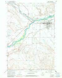
1966 Map of Lovell
USGS Topo · Published 1990About this map
The town of Lovell serves as a hub for this Big Horn County landscape, defined by an intricate network of irrigation systems and the steel rails of the Chicago Burlington and Quincy. The town's grid is dense with local landmarks, including the High Sch, a local Armory, and the Rodeo Ground. This mid-century survey reveals a highly managed agricultural valley where the Shoshone River is diverted into the Sidon Canal, Globe Canal, and the Elk-Lovell Canal. These waterways snake through the desert terrain, supporting life between the Quincy Gulch and Foster Gulch. To the northwest, Cowley Siding marks a point of transit, while the presence of several Oil Wells and a Drive-in Theater reflects the industrial and social character of Wyoming during the 1960s. Genealogists may also find value in the location of the Lovell Cem situated south of the main settlement.
Find a feature on this map
38 named features on this map. Tap any name to fly to it.
Don’t see what you’re looking for? This feature index may not catch every label — zoom into the map to look around manually.
Map Details
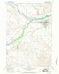
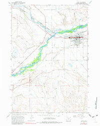
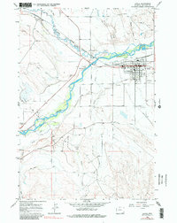
Editions of this 1966 Lovell Map
4 editions found
Other maps of this area

1955 · Cody
USGS Topo · 1:250,000

1958 · Cody
USGS Topo · 1:250,000

1962 · Cody
USGS Topo · 1:250,000

1964 · Lovell Lakes
USGS Topo · 1:24,000

1964 · Sykes Spring
USGS Topo · 1:24,000

1966 · Gilmore Hill NE
USGS Topo · 1:24,000

1966 · North Emblem Reservoir
USGS Topo · 1:24,000

1966 · Frannie
USGS Topo · 1:24,000

1966 · Cowley
USGS Topo · 1:24,000

1966 · Jack Horner Reservoir
USGS Topo · 1:24,000