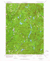
1957 Map of Lovewell Mountain
USGS Topo · Published 1964About this map
Lovewell Mountain dominates the center of this terrain, marking a landscape defined by its high ridges and numerous glacial ponds. The region’s 19th-century industrial history is visible through scattered milling sites such as Gee Mill on Otter Brook and Loverens Mill near the North Branch, indicating where local water power once fueled small-scale manufacturing. Settled valleys like Mill Village and East Lempster line the Dartmouth College Highway, while the area around Washington and the Advent Ch shows a established community structure in the mid-20th century. Extensive protected lands, including Honey Brook State Forest and Dodge Brook State Forest, underscore the transition from a managed timber and mill economy toward the conservation of New Hampshire’s highlands. Further south, Highland Lake and Granite Lake anchor the settlements of Stoddard and Munsonville, which served as local hubs for the surrounding farmsteads and hillsides.
Find a feature on this map
143 named features on this map. Tap any name to fly to it.
Don’t see what you’re looking for? This feature index may not catch every label — zoom into the map to look around manually.
Map Details
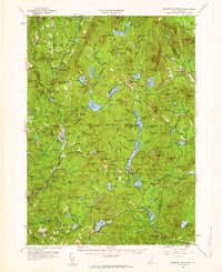
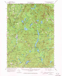
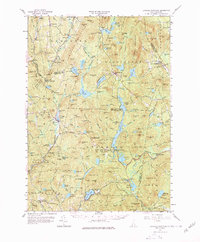
Editions of this 1957 Lovewell Mountain Map
4 editions found
Other maps of this area

1898 · Monadnock
USGS Topo · 1:62,500

1898 · Keene
USGS Topo · 1:62,500

1900 · Peterboro
USGS Topo · 1:62,500

1902 · Sunapee
USGS Topo · 1:62,500

1905 · Sunapee
USGS Topo · 1:62,500

1907 · Sunapee
USGS Topo · 1:62,500

1926 · Hillsboro
USGS Topo · 1:62,500

1926 · Claremont
USGS Topo · 1:62,500

1927 · Bellows Falls
USGS Topo · 1:48,000

1928 · Mount Kearsarge
USGS Topo · 1:62,500