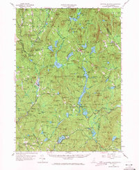
1957 Map of Lovewell Mountain
USGS Topo · Published 1971About this map
Lovewell Mountain dominates the central terrain of this mid-century survey, surrounded by a complex network of upland ponds and small manufacturing sites. The landscape reflects a legacy of water-powered industry, with several mills identified across the region, including Gee Mill near Marlow Junction and Woods Mill further south. These local operations supported small settlements like East Lempster and Mill Village, which grew around established crossings and timber resources.
Find a feature on this map
175 named features on this map. Tap any name to fly to it.
Don’t see what you’re looking for? This feature index may not catch every label — zoom into the map to look around manually.
Map Details
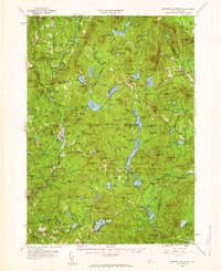
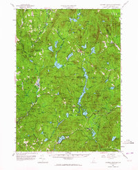
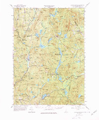
Editions of this 1957 Lovewell Mountain Map
4 editions found
Other maps of this area

1898 · Monadnock
USGS Topo · 1:62,500

1898 · Keene
USGS Topo · 1:62,500

1900 · Peterboro
USGS Topo · 1:62,500

1902 · Sunapee
USGS Topo · 1:62,500

1905 · Sunapee
USGS Topo · 1:62,500

1907 · Sunapee
USGS Topo · 1:62,500

1926 · Hillsboro
USGS Topo · 1:62,500

1926 · Claremont
USGS Topo · 1:62,500

1927 · Bellows Falls
USGS Topo · 1:48,000

1928 · Mount Kearsarge
USGS Topo · 1:62,500