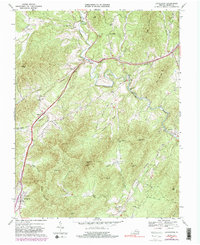
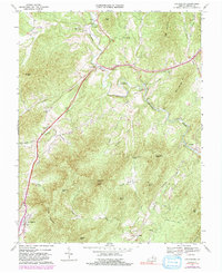
1967 Map of Lovingston
USGS Topo · Published 1991About this map
Lovingston serves as a primary anchor in this Piedmont landscape, situated among a network of prominent ridges and deep hollows. The Rockfish River winds through the northern and eastern sections of the quadrangle, where historic river-crossings like Gullysville Ford and the Stage Bridge once facilitated movement. This 1960s survey, later updated with photorevisions, documents the traditional settlement patterns along Telephone Road and the Old Stage Road. The map preserves the locations of local industry and social centers, including Lawhorne Mill and rural congregations such as Cedar Grove Ch and Ebenezer Ch. Significant topographic landmarks like Sugarloaf Mtn and Diggs Mountain dominate the terrain, while the Southern Railway Grade follows the watercourses through the southern valleys near Elma.
Find a feature on this map
48 named features on this map. Tap any name to fly to it.
Don’t see what you’re looking for? This feature index may not catch every label — zoom into the map to look around manually.
Map Details
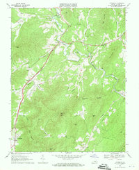
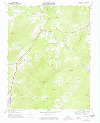
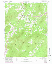
Editions of this 1967 Lovingston Map
5 editions found
Other maps of this area

1892 · Buckingham
USGS Topo · 1:125,000

1929 · Covesville
USGS Topo · 1:62,500

1935 · Covesville
USGS Topo · 1:62,500

1943 · Lovingston
USGS Topo · 1:62,500

1945 · Covesville
USGS Topo · 1:62,500

1946 · Lovingston
USGS Topo · 1:62,500

1947 · Roanoke
USGS Topo · 1:250,000

1959 · Roanoke
USGS Topo · 1:250,000

1961 · Shipman
USGS Topo · 1:62,500

1961 · Buckingham
USGS Topo · 1:62,500