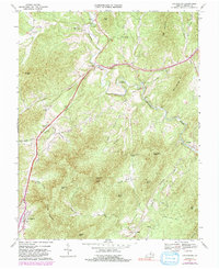
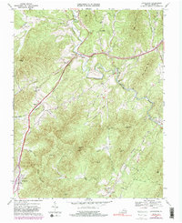
1967 Map of Lovingston
USGS Topo · Published 1991About this map
Lovingston serves as the focal point for this section of Nelson County, where the Blue Ridge foothills transition into a landscape of ridges and hollows. The Rockfish River winds through the northern portion of the quadrangle, punctuated by historical crossing points like the Gullysville Ford and the Stage Bridge. Evidence of the region’s early transportation and industrial networks is prominent, with the Old Stage Road and Southern Railroad Grade tracing paths through the valleys. The prominence of family and community landmarks, such as Oak Hill Ch and Lawhorne Mill, indicates a settled rural economy built around water power and transit. Higher elevations are marked by the Lookout Tower on Sugarloaf Mtn, overlooking deep topographic features like Polly Wright Cove and Perkins Hollow.
Find a feature on this map
48 named features on this map. Tap any name to fly to it.
Don’t see what you’re looking for? This feature index may not catch every label — zoom into the map to look around manually.
Map Details
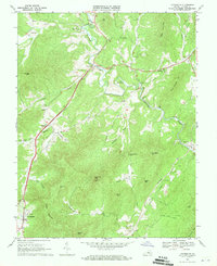
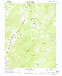
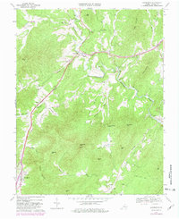
Editions of this 1967 Lovingston Map
5 editions found
Other maps of this area

1892 · Buckingham
USGS Topo · 1:125,000

1929 · Covesville
USGS Topo · 1:62,500

1935 · Covesville
USGS Topo · 1:62,500

1943 · Lovingston
USGS Topo · 1:62,500

1945 · Covesville
USGS Topo · 1:62,500

1946 · Lovingston
USGS Topo · 1:62,500

1947 · Roanoke
USGS Topo · 1:250,000

1959 · Roanoke
USGS Topo · 1:250,000

1961 · Shipman
USGS Topo · 1:62,500

1961 · Buckingham
USGS Topo · 1:62,500