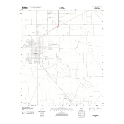
2010 Map of Lovington
USGS Topo · Published 2010About this map
Lovington serves as the focal point of this Lea County landscape, exhibiting a dense street grid that transitions into the industrial and agricultural surroundings of the High Plains. The infrastructure reflects a region defined by its natural resources, notably the East Lovington Oil Field in the south and the Collier Open Pit toward the northwest. These sites, along with the Lovington Post Office and the central business district, anchor the local economy and community life.
Find a feature on this map
35 named features on this map. Tap any name to fly to it.
Don’t see what you’re looking for? This feature index may not catch every label — zoom into the map to look around manually.
Map Details
Editions of this 2010 Lovington Map
This is the sole edition of this map. No revisions or reprints were ever made.
Other maps of this area

1954 · Hobbs
USGS Topo · 1:250,000

1954 · Brownfield
USGS Topo · 1:250,000

1958 · Brownfield
USGS Topo · 1:250,000

1958 · Hobbs
USGS Topo · 1:250,000

1962 · Brownfield
USGS Topo · 1:250,000

1962 · Lovington
USGS Topo · 1:24,000

1962 · Lovington
USGS Topo · 1:62,500

1969 · Humble City
USGS Topo · 1:24,000

1970 · Prairieview
USGS Topo · 1:24,000

1970 · Hillburn City
USGS Topo · 1:24,000