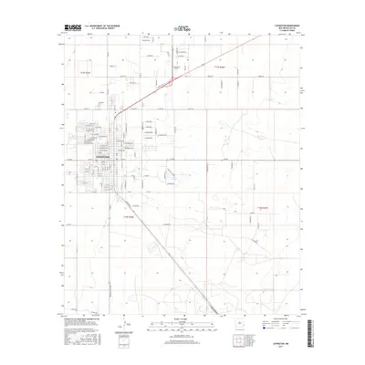
2017 Map of Lovington
USGS Topo · Published 2017About this map
Lovington serves as the focal point of this Lea County landscape, displaying the organized residential grid and arterial roads that define this High Plains community. The map details the town’s expansion with named streets such as W Polk Ave and E Harrison Ave, while the Lovington Cem and Rest Haven Gardens provide specific points of interest for genealogical research. To the east of the main settlement, Twin Lakes offers a distinct geographical marker amidst the surrounding terrain.
Find a feature on this map
125 named features on this map. Tap any name to fly to it.
Don’t see what you’re looking for? This feature index may not catch every label — zoom into the map to look around manually.
Map Details
Editions of this 2017 Lovington Map
This is the sole edition of this map. No revisions or reprints were ever made.
Other maps of this area

1954 · Hobbs
USGS Topo · 1:250,000

1954 · Brownfield
USGS Topo · 1:250,000

1958 · Brownfield
USGS Topo · 1:250,000

1958 · Hobbs
USGS Topo · 1:250,000

1962 · Brownfield
USGS Topo · 1:250,000

1962 · Lovington
USGS Topo · 1:24,000

1962 · Lovington
USGS Topo · 1:62,500

1969 · Humble City
USGS Topo · 1:24,000

1970 · Prairieview
USGS Topo · 1:24,000

1970 · Hillburn City
USGS Topo · 1:24,000