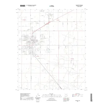
2020 Map of Lovington
USGS Topo · Published 2020About this map
Lovington serves as the focal point of this high plains region, centered on the Lea County Courthouse. The town’s grid is meticulously detailed with a naming convention following U.S. Presidents, from W Madison Ave and E Jefferson Ave to W Adams Ave. This 2020 layout reflects a community deeply tied to its administrative and civic roots in southeastern New Mexico.
Find a feature on this map
74 named features on this map. Tap any name to fly to it.
Don’t see what you’re looking for? This feature index may not catch every label — zoom into the map to look around manually.
Map Details
Editions of this 2020 Lovington Map
This is the sole edition of this map. No revisions or reprints were ever made.
Other maps of this area

1954 · Hobbs
USGS Topo · 1:250,000

1954 · Brownfield
USGS Topo · 1:250,000

1958 · Brownfield
USGS Topo · 1:250,000

1958 · Hobbs
USGS Topo · 1:250,000

1962 · Brownfield
USGS Topo · 1:250,000

1962 · Lovington
USGS Topo · 1:24,000

1962 · Lovington
USGS Topo · 1:62,500

1969 · Humble City
USGS Topo · 1:24,000

1970 · Prairieview
USGS Topo · 1:24,000

1970 · Hillburn City
USGS Topo · 1:24,000