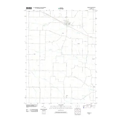
2010 Map of Lowden
USGS Topo · Published 2010About this map
Lowden sits at a crossroads of early Iowa transportation, where the modern corridor meets the historic Old Lincoln Hwy. The landscape is defined by the regular grid of Cedar County's agricultural sections, interrupted only by the winding paths of Yankee Run, Lizard Creek, and Rock Creek. This rural township is a significant site for genealogical research, as evidenced by the high density of family and community burial grounds scattered across the countryside. To the south, the settlement of Inland appears near the Inland Cemetery, while the northern portion of the map identifies the Hickey School. The map's detailed road network, including Hoover Hwy and the Cedar Clinton Co Line, illustrates the enduring structure of the region's farm-to-market economy.
Find a feature on this map
53 named features on this map. Tap any name to fly to it.
Don’t see what you’re looking for? This feature index may not catch every label — zoom into the map to look around manually.
Map Details
Editions of this 2010 Lowden Map
This is the sole edition of this map. No revisions or reprints were ever made.
Other maps of this area

1889 · Tipton
USGS Topo · 1:62,500

1890 · Durant
USGS Topo · 1:62,500

1890 · Tipton
USGS Topo · 1:62,500

1891 · Wilton Junction
USGS Topo · 1:62,500

1892 · Wheatland
USGS Topo · 1:62,500

1894 · Wheatland
USGS Topo · 1:62,500

1894 · Durant
USGS Topo · 1:62,500

1901 · Rock Island
USGS Topo · 1:125,000

1901 · Stanwood
USGS Topo · 1:125,000

1910 · Rock Island
USGS Topo · 1:125,000