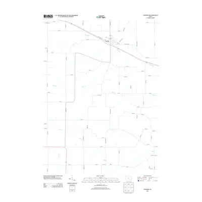
2013 Map of Lowden
USGS Topo · Published 2013About this map
The town of Lowden serves as the primary hub of this eastern Iowa landscape, situated where the historic Old Lincoln Hwy and Old Hwy 30 intersect the local road grid. This 2013 survey illustrates the enduring agricultural layout of Cedar County, with its distinctive section-line roads such as Taylor Ave and 155th St cutting across the drainage basins of Yankee Run and Lizard Cr. For those researching local education and smaller settlements, the map identifies the location of Hickey School in the northwest and the small locales of Lithgrove and Inland. The terrain is defined by the gentle winding of Rock Cr and Bennett Cr, reflecting a rural environment where land use remains closely tied to the natural watercourses that have shaped the region since its early settlement.
Find a feature on this map
63 named features on this map. Tap any name to fly to it.
Don’t see what you’re looking for? This feature index may not catch every label — zoom into the map to look around manually.
Map Details
Editions of this 2013 Lowden Map
This is the sole edition of this map. No revisions or reprints were ever made.
Other maps of this area

1889 · Tipton
USGS Topo · 1:62,500

1890 · Durant
USGS Topo · 1:62,500

1890 · Tipton
USGS Topo · 1:62,500

1891 · Wilton Junction
USGS Topo · 1:62,500

1892 · Wheatland
USGS Topo · 1:62,500

1894 · Wheatland
USGS Topo · 1:62,500

1894 · Durant
USGS Topo · 1:62,500

1901 · Rock Island
USGS Topo · 1:125,000

1901 · Stanwood
USGS Topo · 1:125,000

1910 · Rock Island
USGS Topo · 1:125,000