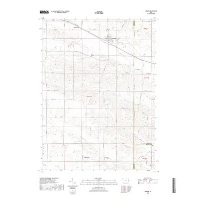
2018 Map of Lowden
USGS Topo · Published 2018About this map
Lowden sits at the heart of this Cedar County landscape, where the historic route of the Old Lincoln Hwy intersects with the local grid of agricultural section lines. This area of eastern Iowa is defined by a dense concentration of small family and community burial sites, providing a significant resource for genealogical research. Named locations such as the Elliott Parr Grave, Van Horn Cem, and Homrighausen Cem are scattered across the terrain, often appearing as small plots adjacent to farmsteads. The local drainage system is shaped by small waterways like Yankee Run, Lizard Cr, and Rock Cr, which cut through the rolling fields. The presence of both the Zion Church and its accompanying Zion Church Cem further illustrates the established rural community structures that persisted into the late 2010s.
Find a feature on this map
50 named features on this map. Tap any name to fly to it.
Don’t see what you’re looking for? This feature index may not catch every label — zoom into the map to look around manually.
Map Details
Editions of this 2018 Lowden Map
This is the sole edition of this map. No revisions or reprints were ever made.
Other maps of this area

1889 · Tipton
USGS Topo · 1:62,500

1890 · Durant
USGS Topo · 1:62,500

1890 · Tipton
USGS Topo · 1:62,500

1891 · Wilton Junction
USGS Topo · 1:62,500

1892 · Wheatland
USGS Topo · 1:62,500

1894 · Wheatland
USGS Topo · 1:62,500

1894 · Durant
USGS Topo · 1:62,500

1901 · Rock Island
USGS Topo · 1:125,000

1901 · Stanwood
USGS Topo · 1:125,000

1910 · Rock Island
USGS Topo · 1:125,000