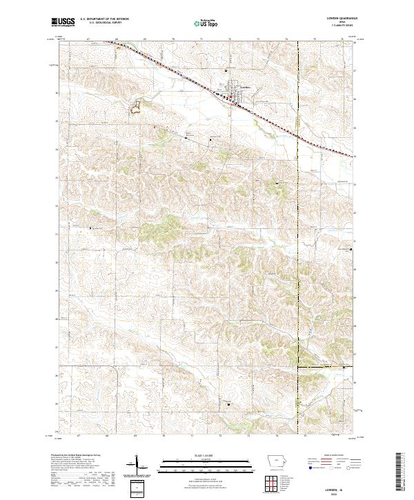
2022 Map of Lowden
USGS Topo · Published 2022About this map
The Iowa countryside near Lowden is defined by a dense network of country roads and family-named cemeteries that speak to generations of settlement in Cedar and Clinton counties. Several watercourses, including Yankee Run and Lizard Cr, wind through the landscape, influencing the placement of early homesteads and landmarks like the Elliott Part-Grave and Van Horn Cem. The map reveals a community deeply rooted in its agricultural heritage, with long-established sites such as Zion Church and its accompanying Zion Church Cem serving as focal points for local history. Modern transportation routes like the Old Lincoln Hwy and Hoover Hwy traverse the terrain, following the historical paths that connected these rural townships. Genealogical researchers will find particular value in the numerous small burial sites, from the Homrighausen Cem in the east to the Fairview Cem further west, which document the families who established these fields.
Find a feature on this map
79 named features on this map. Tap any name to fly to it.
Don’t see what you’re looking for? This feature index may not catch every label — zoom into the map to look around manually.
Map Details
Editions of this 2022 Lowden Map
This is the sole edition of this map. No revisions or reprints were ever made.
Other maps of this area

1889 · Tipton
USGS Topo · 1:62,500

1890 · Durant
USGS Topo · 1:62,500

1890 · Tipton
USGS Topo · 1:62,500

1891 · Wilton Junction
USGS Topo · 1:62,500

1892 · Wheatland
USGS Topo · 1:62,500

1894 · Wheatland
USGS Topo · 1:62,500

1894 · Durant
USGS Topo · 1:62,500

1901 · Rock Island
USGS Topo · 1:125,000

1901 · Stanwood
USGS Topo · 1:125,000

1910 · Rock Island
USGS Topo · 1:125,000