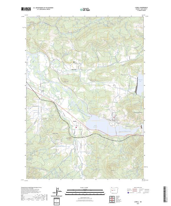
2023 Map of Lowell
USGS Topo · Published 2023About this map
Dexter Reservoir and the Middle Fork Willamette River anchor this modern topographical study of the central Oregon foothills. The geography is defined by the transition from the river valley to the steep timbered slopes of Jacoby Mtn and Butte Disappointment. Local settlement patterns are clearly visible in the small communities of Lowell and Dexter, where grid-style street layouts like N Moss St and S Pioneer St contrast with the winding mountain logging routes of Weyerhauser Rd. Significant for genealogists and local historians, the map identifies specific community landmarks such as the Fall Creek Christian Church Cem and the Hyland Cem near the northern shore of the reservoir. The landscape is heavily influenced by water management, showing the engineered reach of both Dexter Reservoir and the western edge of Fall Creek Lake.
Find a feature on this map
78 named features on this map. Tap any name to fly to it.
Don’t see what you’re looking for? This feature index may not catch every label — zoom into the map to look around manually.
Map Details
Editions of this 2023 Lowell Map
This is the sole edition of this map. No revisions or reprints were ever made.
Other maps of this area

1935 · Lowell
USGS Topo · 1:96,000

1942 · Lowell
USGS Topo · 1:125,000

1950 · Marcola
USGS Topo · 1:62,500

1951 · Leaburg
USGS Topo · 1:62,500

1952 · Marcola
USGS Topo · 1:62,500

1953 · Salem
USGS Topo · 1:250,000

1954 · Salem
USGS Topo · 1:250,000

1955 · Hardesty Mtn
USGS Topo · 1:62,500

1955 · Lowell
USGS Topo · 1:62,500

1958 · Roseburg
USGS Topo · 1:250,000