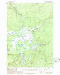
1986 Map of Lower Geyser Basin
USGS Topo · Published 1986About this map
The hydrothermal activity within Yellowstone National Park is documented in detail on this 1980s provisional survey of the Lower Geyser Basin. The landscape is dominated by the Firehole River as it winds through Firehole Canyon and across the broad Fountain Flats. Major thermal landmarks are captured during this era of monitoring, including the expansive Grand Prismatic Spring and the nearby Excelsior Geyser Crater in the Midway Geyser Basin. The map provides a precise layout of the Fountain Group, highlighting features like the Fountain Paint Pot and Celestine Pool. For researchers of the park's geological history, the sheet traces the intricate drainage of Tangled Creek and Nez Perce Creek, alongside numerous named vents like the White Dome Geyser and Great Fountain Geyser.
Find a feature on this map
57 named features on this map. Tap any name to fly to it.
Don’t see what you’re looking for? This feature index may not catch every label — zoom into the map to look around manually.
Map Details
Editions of this 1986 Lower Geyser Basin Map
2 editions found
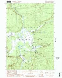
Other maps of this area

1885 · Gallatin
USGS Topo · 1:125,000

1885 · Gallatin
USGS Topo · 1:125,000

1886 · Shoshone
USGS Topo · 1:125,000

1888 · Shoshone
USGS Topo · 1:125,000

1895 · Shoshone
USGS Topo · 1:125,000

1901 · Shoshone
USGS Topo · 1:125,000

1901 · Gallatin
USGS Topo · 1:125,000

1908 · Gallatin
USGS Topo · 1:125,000

1908 · Shoshone
USGS Topo · 1:125,000

1911 · Shoshone
USGS Topo · 1:125,000