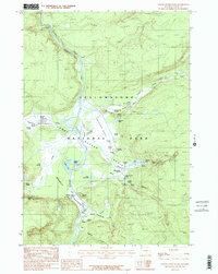
1986 Map of Lower Geyser Basin
USGS Topo · Published 1986About this map
Yellowstone National Park reveals its complex hydrothermal character in this mid-1980s survey of the Lower Geyser Basin. The landscape is dominated by the Firehole River as it winds past Fountain Flats and through the Firehole Canyon, where it drops at the Cascades of the Firehole. The concentration of thermal features is dense, ranging from the well-known Fountain Paint Pot and White Dome Geyser to the isolated Queens Laundry in the west.
Find a feature on this map
57 named features on this map. Tap any name to fly to it.
Don’t see what you’re looking for? This feature index may not catch every label — zoom into the map to look around manually.
Map Details
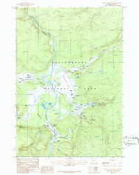
Editions of this 1986 Lower Geyser Basin Map
2 editions found
Other maps of this area

1885 · Gallatin
USGS Topo · 1:125,000

1885 · Gallatin
USGS Topo · 1:125,000

1886 · Shoshone
USGS Topo · 1:125,000

1888 · Shoshone
USGS Topo · 1:125,000

1895 · Shoshone
USGS Topo · 1:125,000

1901 · Shoshone
USGS Topo · 1:125,000

1901 · Gallatin
USGS Topo · 1:125,000

1908 · Gallatin
USGS Topo · 1:125,000

1908 · Shoshone
USGS Topo · 1:125,000

1911 · Shoshone
USGS Topo · 1:125,000