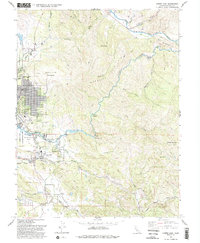
1993 Map of Lower Lake
USGS Topo · Published 1993About this map
Anderson Marsh State Historical Park anchors this landscape where the waters of Clear Lake drain into the winding Cache Creek. The settlement of Lower Lake serves as a local hub near Anderson Flat, showing a community integrated with the surrounding hills and canyons. The map illustrates a transition from the urban grid of Clearlake to the resource-rich highlands of Perkins Ridge and Quackenbush Mountain.
Find a feature on this map
46 named features on this map. Tap any name to fly to it.
Don’t see what you’re looking for? This feature index may not catch every label — zoom into the map to look around manually.
Map Details
Editions of this 1993 Lower Lake Map
2 editions found
Other maps of this area

1920 · Venado
USGS Topo · 1:62,500

1924 · Bartlett Springs
USGS Topo · 1:62,500

1942 · Bartlett Springs
USGS Topo · 1:62,500

1943 · Morgan Valley
USGS Topo · 1:62,500

1944 · Bartlett Springs
USGS Topo · 1:62,500

1944 · Wilbur Springs
USGS Topo · 1:62,500

1944 · Morgan Valley
USGS Topo · 1:62,500

1945 · Lower Lake
USGS Topo · 1:62,500

1947 · Santa Rosa
USGS Topo · 1:250,000

1949 · Santa Rosa
USGS Topo · 1:250,000