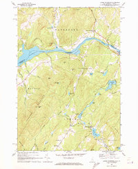
1967 Map of Lower Waterford
USGS Topo · Published 1973About this map
The Connecticut River serves as the central artery and state boundary in this 1960s-era topographical survey, separating the town of Waterford in Vermont from its New Hampshire neighbors. The landscape is defined by the steep elevation of Gardner Mountain and Signal Mtn, dropping down to riverside settlements like West Waterford and Lower Waterford. The river itself is shown as a reservoir, evidenced by the Powerplant and several substations that harness its flow, reflecting the mid-century industrialization of the New England waterway.
Find a feature on this map
70 named features on this map. Tap any name to fly to it.
Don’t see what you’re looking for? This feature index may not catch every label — zoom into the map to look around manually.
Map Details
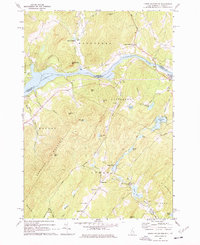
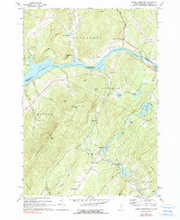
Editions of this 1967 Lower Waterford Map
Other maps of this area

1929 · Moosilauke
USGS Topo · 1:62,500

1931 · Littleton
USGS Topo · 1:62,500

1931 · Woodsville
USGS Topo · 1:48,000

1932 · Littleton
USGS Topo · 1:48,000

1932 · Moosilauke
USGS Topo · 1:62,500

1935 · Woodsville
USGS Topo · 1:62,500

1935 · Littleton
USGS Topo · 1:62,500

1938 · St. Johnsbury
USGS Topo · 1:48,000

1941 · Woodsville
USGS Topo · 1:62,500

1943 · St. Johnsbury
USGS Topo · 1:62,500