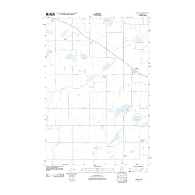
2010 Map of Lowry
USGS Topo · Published 2010About this map
The village of Lowry serves as the focal point for this section of Pope County, anchored by the Lowry Post Office and surrounded by a landscape defined by glacial prairie lakes and seasonal watercourses. The local heritage of the area is mapped through a significant collection of community burial grounds and religious sites, including Saint Pauls Cemetery, the Norunga Cemetery, and the Ben Wade Cemetery. The southern portion of the quadrangle is notably marked by the Indherred Church and the adjacent Early Indherred Community Cemetery, providing a clear record of early regional settlement patterns.
Find a feature on this map
33 named features on this map. Tap any name to fly to it.
Don’t see what you’re looking for? This feature index may not catch every label — zoom into the map to look around manually.
Map Details
Editions of this 2010 Lowry Map
This is the sole edition of this map. No revisions or reprints were ever made.
Other maps of this area

1953 · Saint Cloud
USGS Topo · 1:250,000

1957 · Saint Cloud
USGS Topo · 1:250,000

1958 · Saint Cloud
USGS Topo · 1:250,000

1966 · Farwell
USGS Topo · 1:24,000

1966 · Kensington
USGS Topo · 1:24,000

1966 · Lake Mary
USGS Topo · 1:24,000

1968 · Cyrus
USGS Topo · 1:24,000

1968 · Starbuck
USGS Topo · 1:24,000

1968 · Lowry
USGS Topo · 1:24,000

1968 · Glenwood
USGS Topo · 1:24,000