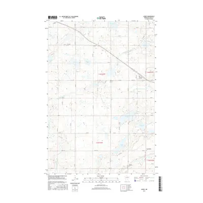
2016 Map of Lowry
USGS Topo · Published 2016About this map
Lowry serves as the primary hub in this Pope County landscape, where the grid of rural roads like Co RD 28 and Co RD 24 connects a series of glacial lakes and pioneer burial grounds. The territory is defined by its water and its heritage, with the Little Chippewa River and County Ditch Number Seven draining the surrounding wetlands near Malmedal Lake and Wollan Lake. For those researching local lineages, the map is particularly detailed regarding early religious and community sites. Multiple cemeteries, including Indherred Church Cem, Saint Pauls Cem, and the Early Indherred Community Cem, are preserved across the townships, indicating the locations of former parishes and early Scandinavian or European settlements that once anchored these prairie farmsteads. Smaller water bodies like Diamond Lake and Jorgenson Lake dot the northern sections, illustrating the typical post-glacial topography of the region.
Find a feature on this map
40 named features on this map. Tap any name to fly to it.
Don’t see what you’re looking for? This feature index may not catch every label — zoom into the map to look around manually.
Map Details
Editions of this 2016 Lowry Map
This is the sole edition of this map. No revisions or reprints were ever made.
Other maps of this area

1953 · Saint Cloud
USGS Topo · 1:250,000
1957 · Saint Cloud
USGS Topo · 1:250,000
1958 · Saint Cloud
USGS Topo · 1:250,000
1966 · Farwell
USGS Topo · 1:24,000
1966 · Kensington
USGS Topo · 1:24,000
1966 · Lake Mary
USGS Topo · 1:24,000
1968 · Cyrus
USGS Topo · 1:24,000
1968 · Starbuck
USGS Topo · 1:24,000
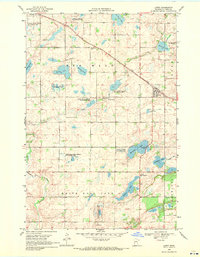
1968 · Lowry
USGS Topo · 1:24,000
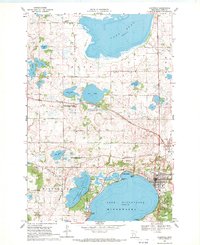
1968 · Glenwood
USGS Topo · 1:24,000